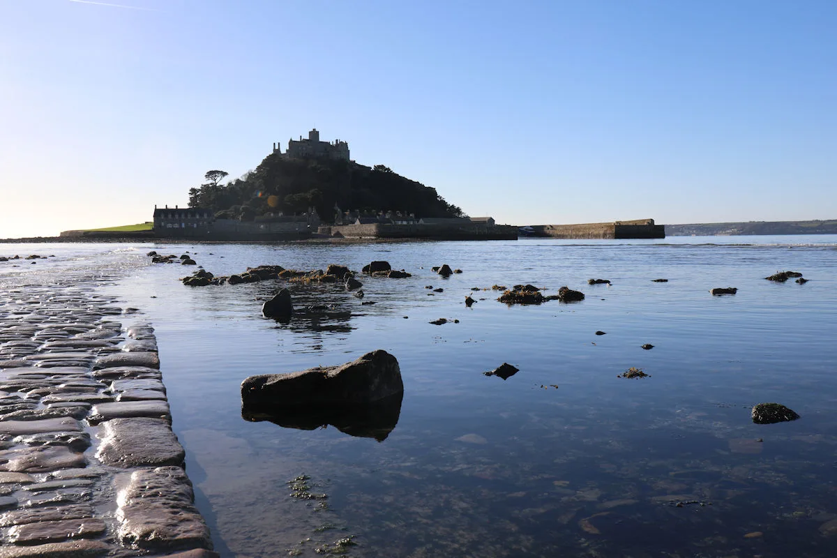
Tides are driven by the gravitational effects of the moon and sun, but their local expression is not a simple simultaneous rise and fall of every coastline. The National Tidal and Sea Level Facility explains how tidal patterns develop and how the shape of seas and estuaries affects them.
The Met Office’s beach guidance notes that the UK mostly experiences two high and two low tides each day. Mostly is an important word. Real locations can have distinctive patterns, and the interval or height should not be inferred from a general rule alone.
Place matters
The water’s movement is influenced by the geometry of the coastline and the depth and shape of the seabed. An estuary can alter the timing and form of the tidal cycle. Two nearby-looking places on a small map need not share the same timetable.
Tidal predictions also need a reference location and height convention. A number without its port, date or reference information is incomplete. The Met Office explains that beach tide information can be based on the nearest port with a tidal station, which is useful context when reading a forecast.
A prediction is not the whole sea
Weather and local conditions can affect the water level and what a coast is like on the day. This explainer is not a tide table or a route plan. Before visiting a tidal location, use current local information, official warnings and site-specific guidance. Understanding the broad mechanism is interesting; using the right information for a particular place is a separate task.
Follow the sources
Reference material consulted for this explainer. External publishers are not affiliated with or endorsing Factlore.
- National Tidal and Sea Level Facility — All about tides ↗
- Met Office — Beach forecast and tide times explained ↗
Source material consulted 14 November 2026.
A question to take away
What location and reference details should accompany a tide prediction?