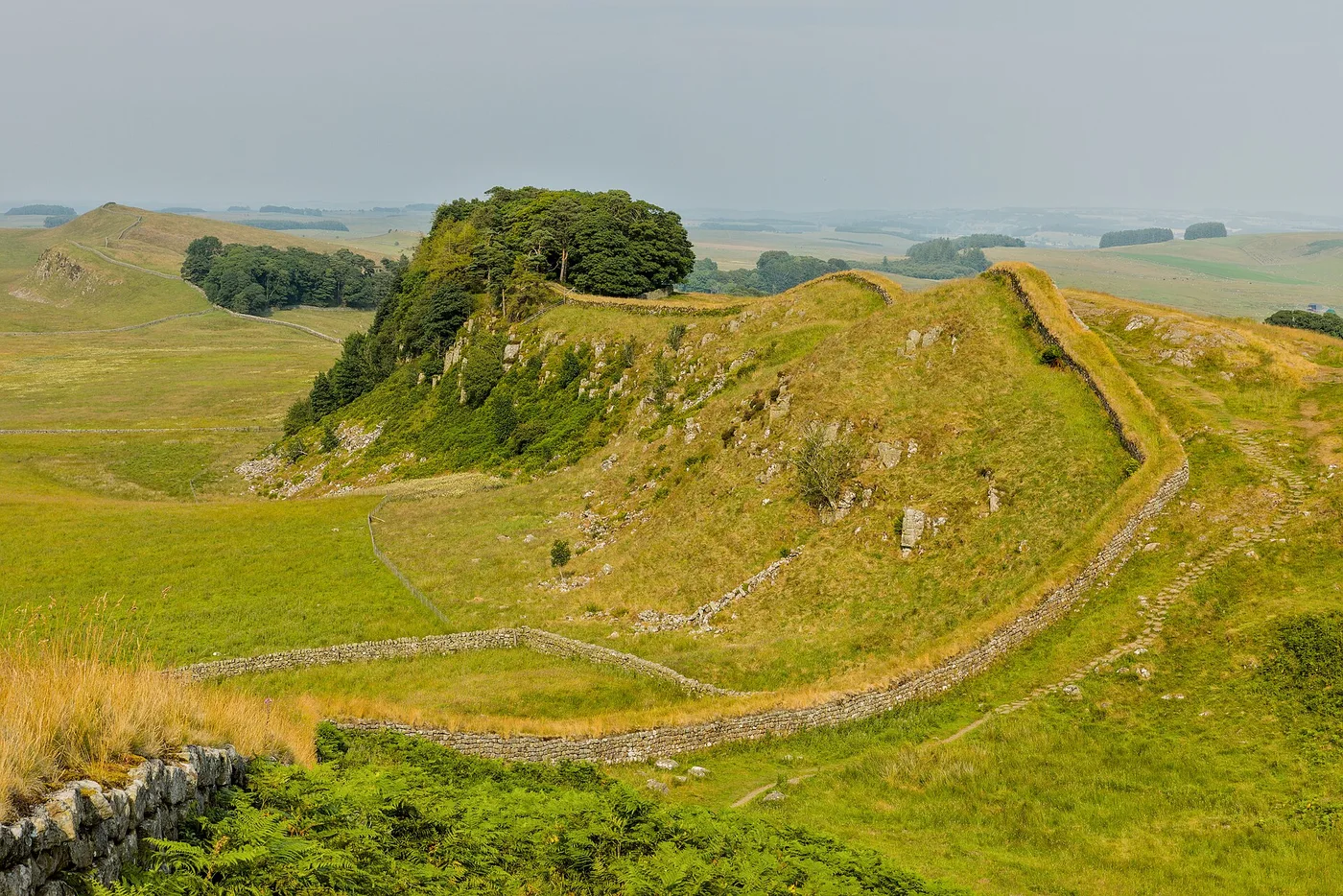
Hadrian’s Wall formed part of Rome’s frontier in Britain. English Heritage’s account places it within the military and political history of the empire, rather than treating it as a timeless division between modern nations.
The wall is not the present border between England and Scotland. Reading that modern boundary back into the Roman landscape can distort the purpose of the structure and the setting in which it was built. A map needs a date as well as a line.
Look beyond the stonework
The frontier included forts, gateways and other installations. Its operation depended on soldiers and on the people who lived, worked and moved around those sites. The surviving wall is the most recognisable element, but it was not the whole system.
English Heritage’s history and description show a landscape whose use developed over time. Asking who could pass, where movement was channelled and how nearby settlements related to the frontier opens a richer discussion than asking only how high the masonry stood.
A landscape, not a single answer
When visiting or reading about the wall, distinguish surviving remains from restoration and reconstruction. Different stretches preserve different evidence. An explanation based on one fort should not automatically stand for every location or every period of use. The most useful story connects the large imperial frontier with the local evidence that gives it human scale.
Follow the sources
Reference material consulted for this explainer. External publishers are not affiliated with or endorsing Factlore.
Source material consulted 14 November 2026.
A question to take away
What can a frontier reveal about connections and movement as well as separation?